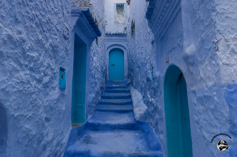
Into Morocco
I think the borders of Central America have left a lasting impression on us. Every time we are getting ready Continue Reading
I think the borders of Central America have left a lasting impression on us. Every time we are getting ready Continue Reading
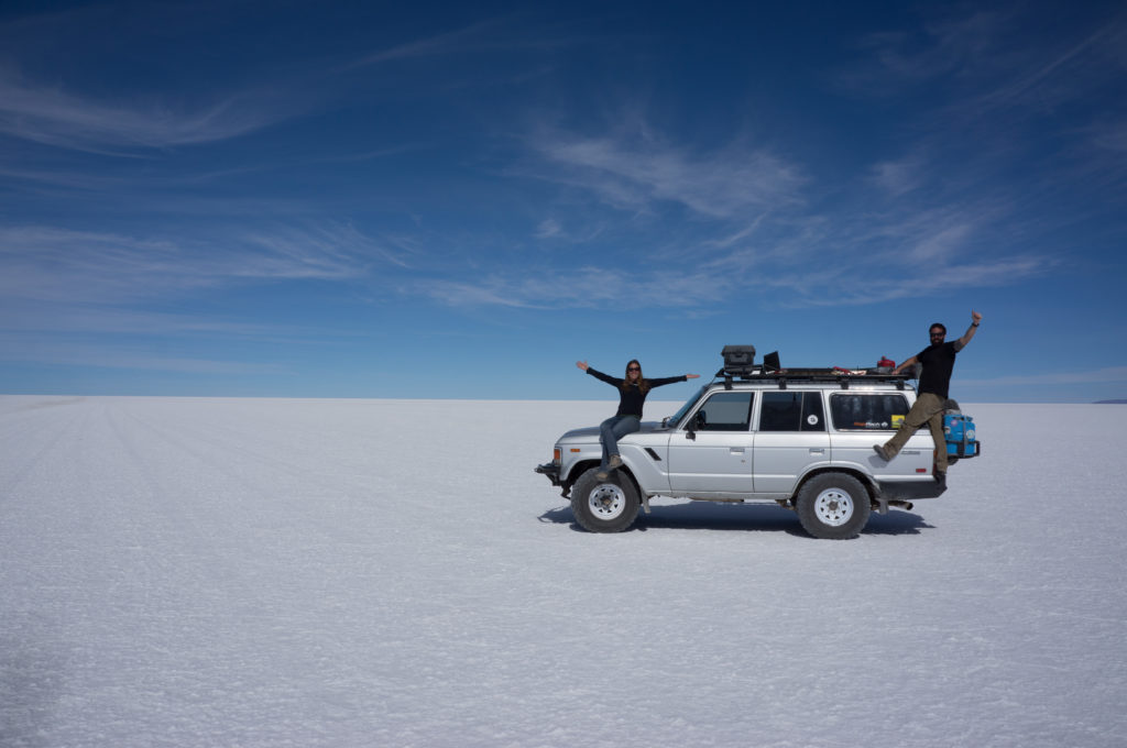
In 2014, just after shipping our Landcruiser back from South America, we got an email from our web host telling Continue Reading
I remember, what seems like a lifetime ago, when we were saving and planning for this trip reading the blogs Continue Reading
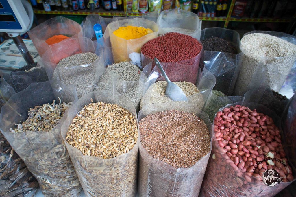
I think we’ve made it clear that we love food and in fact a great part of our little travel Continue Reading
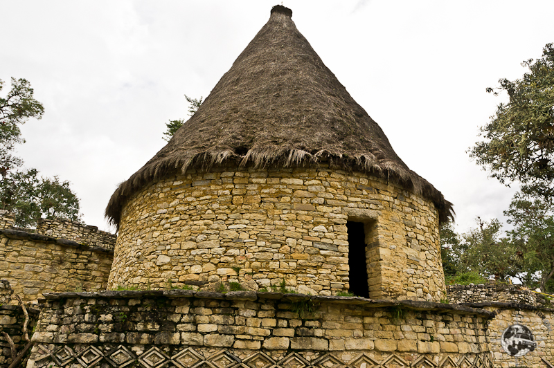
Our original plan was a 4 day hike/horseback ride to the pre-Inca ruins of Kuelap, but 2 days into the Continue Reading